Aviation Weather Map
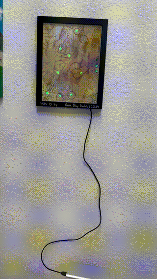
The Weather Map in all its Glory
For my Pilot buddy's birthday, I wanted to make a meaningful gift. This is what I came up with- a map of all the weather stations near his local airport.
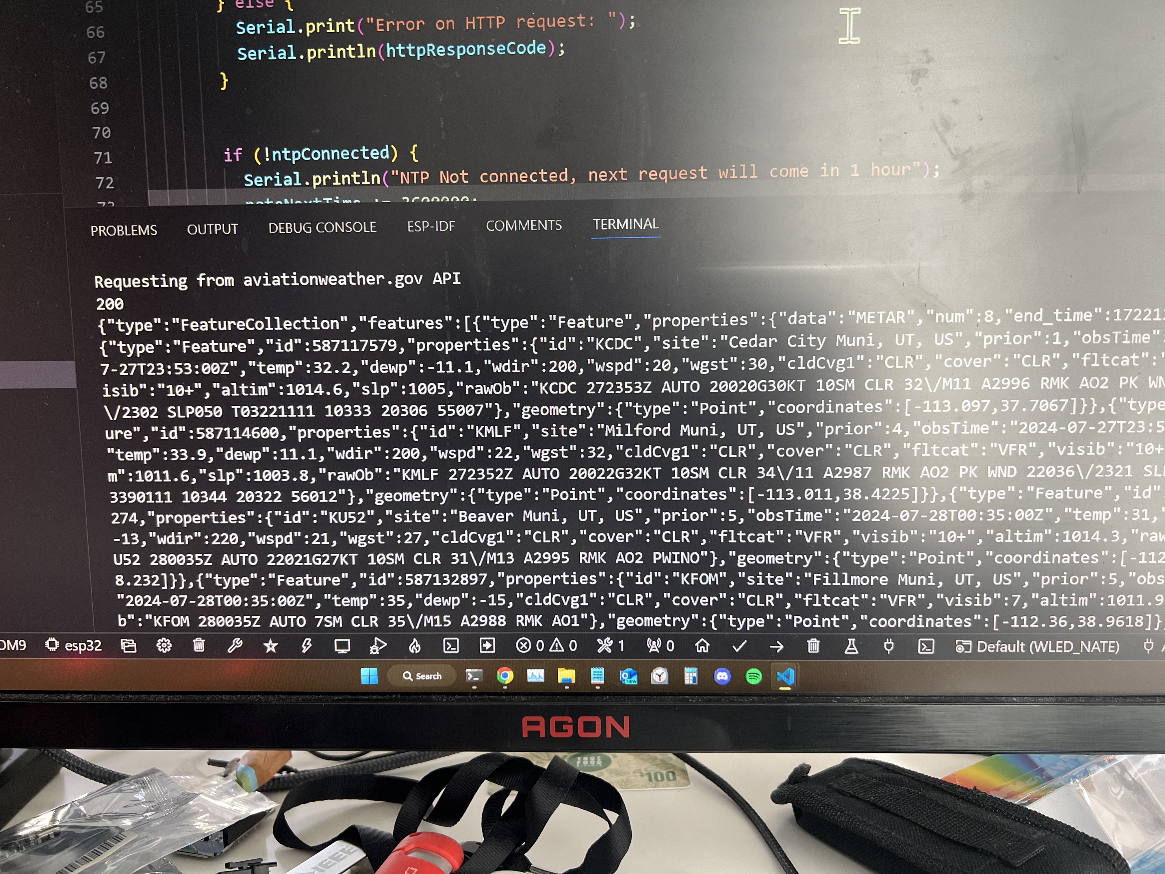
It uses data from the official AviationWeather.gov API, queried hourly for the 8 airports displayed using an ESP32 microcontroller driving individually addressable LEDs.
Additionally, I added some capacitive touch buttons behind some status LEDs on the side to cycle through brightness settings, and to toggle it on and off.
The Hardware
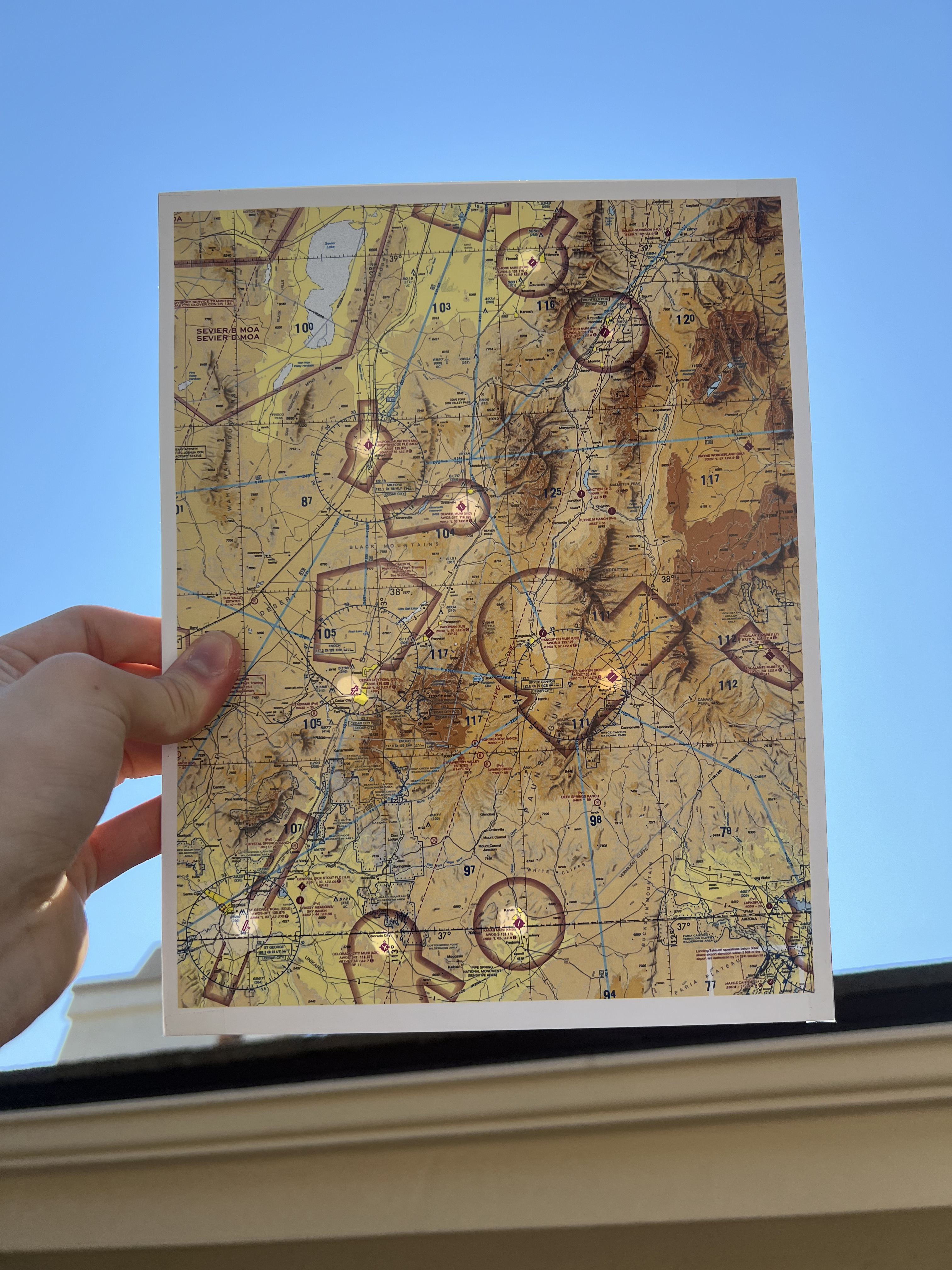
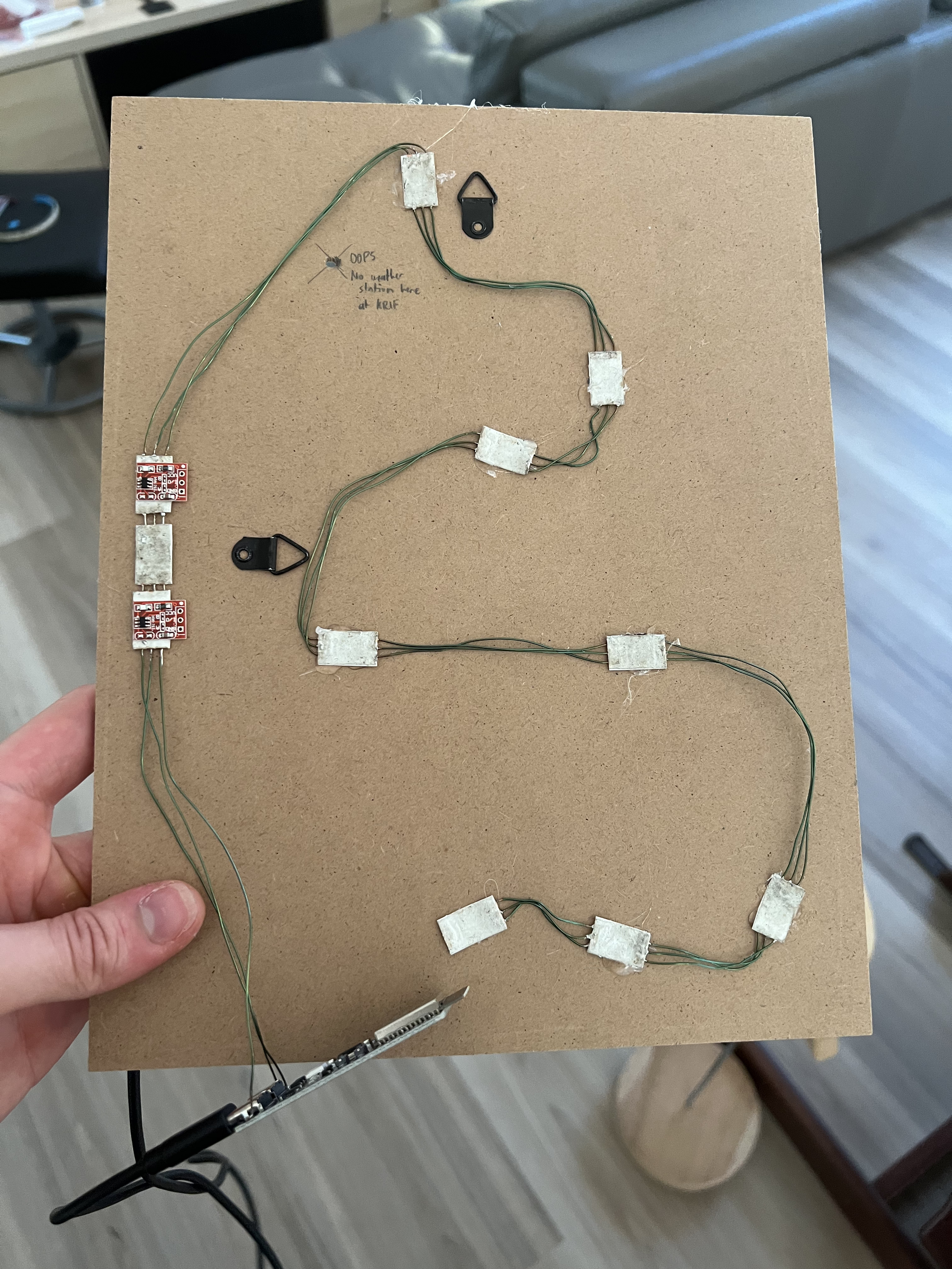
The first task was to make sure the hardware was working. I downloaded and printed a high quality official FAA Terminal Area Chart, bought a certificate frame for a few dollars, then drilled holes for each airport in the cardboard backing.
Next it was time for the tedious process of cutting and soldering individual wires for each LED, and you can see the red touch sensors on the left side as well. together with some copper tape on the front side, the touch sensors are sensitive enough to accurately detect a touch through the glass, as you could see in the GIF above.
The Software
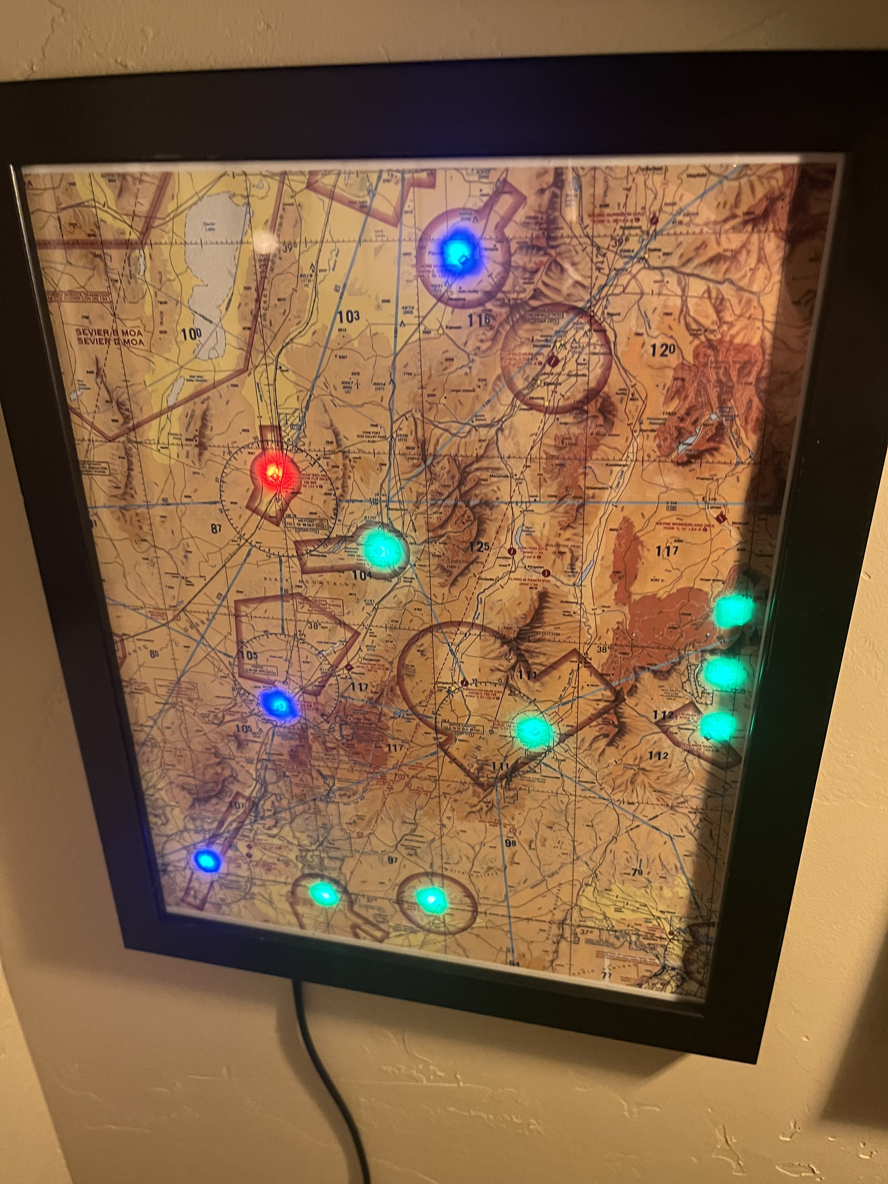
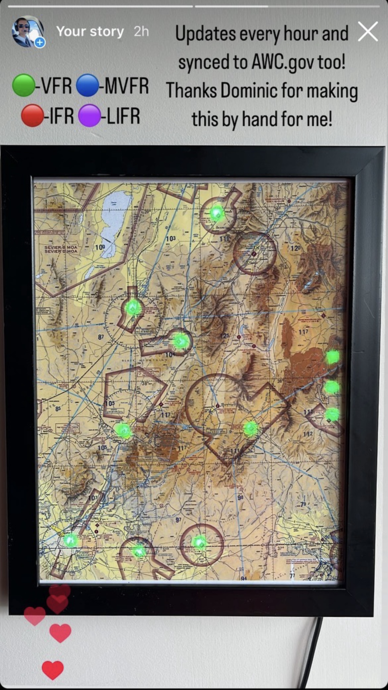
The software was very straightforward. I programmed the ESP32 with a slightly modified fork of the WLED project, which I've had plenty of experience withas seen in my other projects, and I simply added the logic for the touch buttons and added functionality for requesting data from the official AviationWeather.gov API. Then it was as simple as extracting the flight category data from the JSON response and associating each with a color. VFR (visual flight rules) is green, MVFR (marginal visual flight rules) is blue, IFR (instrument flight rules) is red, and LIFR (limited visibility flight rules) is magenta.
A Cool Photo of It Working
This made for a great gift for my buddy. He sent me this photo when it was raining in his area and some of the local weather stations were reporting less than ideal flight conditions. It's obviously no replacement for a real weather briefing, but for someone so enthusiastic about aviation as him, It acts as a nice conversation starter.